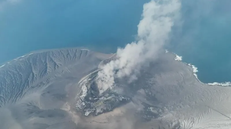
A powerful 7.7-magnitude earthquake struck off Indonesia’s Flores Island early Saturday, triggering panic and mass evacuations after authorities issued a tsunami warning.
The shallow earthquake occurred off the northern coast of Flores, about 68 kilometres northwest of the coastal town of Ende, according to United States and Indonesian authorities.
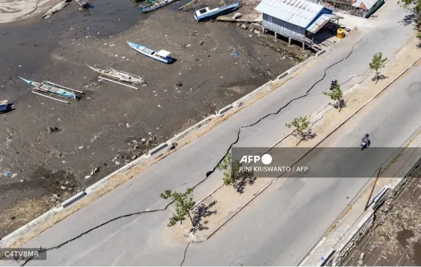
Residents in Nagekeo regency, which was closest to the epicentre, rushed towards higher ground after noticing the sea retreating, raising fears of an approaching tsunami.
The initial tremor was followed by several strong aftershocks, including one measuring 6.1 in magnitude.
“Suddenly it started to shake, and I panicked,” 31-year-old hospital customer service official and Maumere resident, Lukas Lotar, told AFP.
“Patients also fled the hospital; the jolt was big. I saw some walls were cracked,” he said.
Another resident, 56-year-old Yohanes Babo, said he was at a market when the earthquake struck.
“The shaking was strong. Thankfully, we were already outside the house.
“People were panicking, running here and there. We’re evacuating for the time being… and trying to get to the hills,” he said, adding, “My family is safe. No one was harmed.”
Evacuations ordered
Indonesia’s Meteorology, Climatology, and Geophysics Agency warned that the earthquake could generate tsunami waves and advised residents in vulnerable coastal communities to immediately move to safer locations.
“We strongly urge our communities along the northern coast of Flores and in the southern parts, on the southern islands and across the southern region, to carry out self-evacuation immediately,” an official at the national disaster agency, Abdul Muhari, said.
Residents were advised to move at least two kilometres inland or seek higher ground more than 10 metres above sea level, he told local broadcaster Kompas TV.
BMKG earthquake and tsunami director Wijayanto said modelling indicated that tsunami waves could affect parts of East Nusa Tenggara, South Sulawesi and West Nusa Tenggara.
An alert was initially issued for waves measuring between 0.5 and three metres before it was eventually lifted.
“We have ended (the tsunami warning) but we will keep monitoring the sea level,” Wijayanto said.
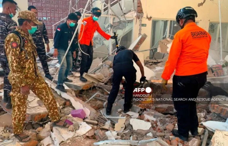
Residents of Maumere were also seen moving towards higher ground, while television footage showed hundreds of people in Nagekeo evacuating amid rubble from damaged buildings.
Authorities said no casualties had been recorded, although tsunami waves measuring between 19 and 30 centimetres were detected.
Indonesia is frequently hit by earthquakes because it sits along the Pacific “Ring of Fire”, a region known for intense seismic activity stretching across Japan, Southeast Asia and the Pacific basin.
The country experienced one of its deadliest disasters in 2004 when a 9.1-magnitude earthquake struck off Sumatra and generated a massive tsunami that killed about 220,000 people across the region, including approximately 170,000 in Indonesia.
In 2018, an earthquake struck Lombok, followed by several tremors over subsequent weeks, killing more than 550 people on the island and neighbouring Sumbawa.
Later that year, a 7.5-magnitude earthquake and tsunami struck Palu on Sulawesi Island, leaving more than 4,300 people dead or missing.